Client overview
Our client is headquartered in South Korea and provides data solutions for software development in the autonomous vehicle industry. They work with leading global automotive manufacturers and technology providers, supporting the training and validation of Advanced Driver Assistance Systems (ADAS).
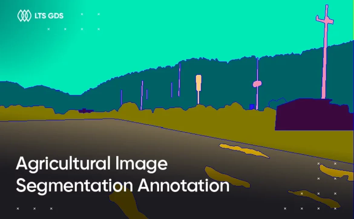
For ADAS, accurate recognition of lane markings and road boundaries is essential. These systems depend on precise data to detect lanes, keep vehicles within boundaries, and respond correctly to complex road environments.
What the client needs
The client approached us with a large-scale annotation request:
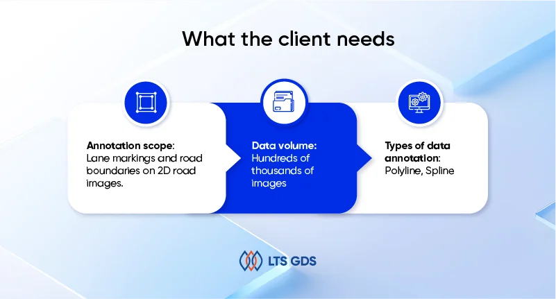
Annotation scope: Lane markings and road boundaries on 2D road images.
Data volume: Hundreds of thousands of images captured across multiple countries, covering different driving environments.
Types of data annotation: Polyline, Spline
The challenge was not only in the scale of the work but also in its complexity. Lane and boundary markings vary by country, road type, and condition. Some images included faint or broken lines, poorly lit conditions, or obstructed views. To ensure ADAS systems could generalize well, the dataset needed to cover all these variations with high-quality annotation.
To deliver this project, we followed a clear process over 2.5 years.
How we did it
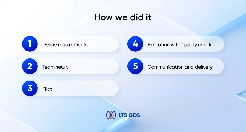
1. Define requirements
Together with the client, we clarified detailed rules for lane markings and boundaries across countries. This included how to handle special cases such as broken lines, faded paint, or unclear boundaries. These requirements became the baseline for training and QA.
2. Team setup
We built a team of inspectors with experience in road data and trained them carefully. The training focused on lane marking rules in different countries, how to use polyline and spline tools, and how to deal with tricky cases in real driving images.
3. Pilot
We started with a small dataset to test the rules. Reviews showed inconsistencies with broken or merging lines, so we refined the guidelines and retrained the team. Accuracy reached about 90% at this stage.
4. Execution with quality checks
During the project, annotators traced lane markings and road boundaries directly with polylines, adjusting points to match curves and perspective. Each batch was peer-reviewed, and samples were double-checked by senior inspectors. Quality rose steadily, passing 97% as the process stabilized.
5. Communication and delivery
We kept close contact with the client through Slack, Gmail, and Excel reports. This helped us adapt to changing requirements during the 2.5-year project. Final deliveries included clean data packages, documentation, and QA reports. By the end, the client rated us their best-quality partner and continued to assign more road surface projects.
What the results have
The outcomes of the project were significant:
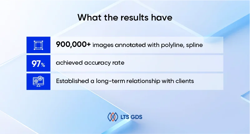
– 900K+ images annotated with polyline, spline
– Achieved accuracy rate up to 97%
– Established a long-term relationship with clients for the next big projects.